
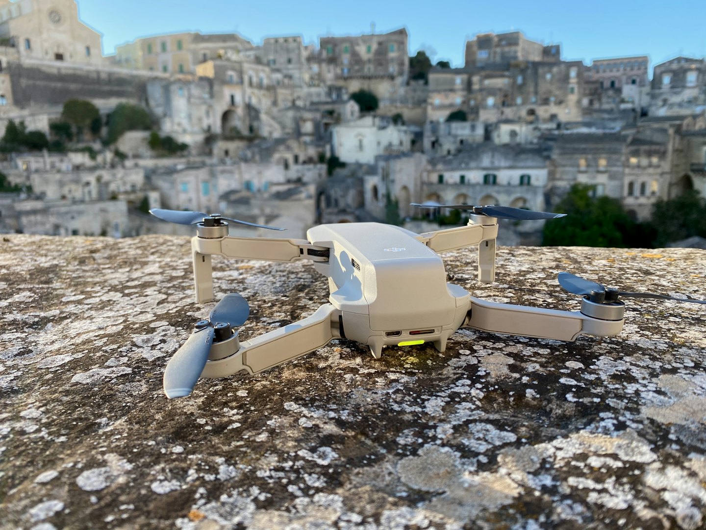
Specializing in Advanced Drone Solutions
East Coast Drones LLC delivers expert aerial imaging and mapping services tailored to support construction, land development, and municipal planning. Our mission is to provide precise, actionable data that empowers clients to make informed decisions, reduce risks, and streamline project timelines.
Drone-Powered Data for Smarter Decisions
The core values shaping every project we deliver:

Safety First
We operate responsibly and follow strict protocols, reducing risks and providing aerial perspectives without disturbing crews or projects.

Innovative Solutions
We apply the latest drone technology and analytics to deliver insights faster, clearer, and more efficiently.

Reliable Precision
From mapping to analysis, our data keeps projects accurate, on schedule, and free from costly errors.

Client Partnerships
Tailored insights from each project transforms aerial data into practical solutions and long-term value.
Precision Drone Mapping & Surveying
Dive into key data points that reveal our impact on industries like construction and planning, highlighting accuracy, efficiency, and client satisfaction.